Log in
All resources
Create a design
1,095,938 Free Images of Maps Of Carniola
maps in the library of congress
o. h. bailey
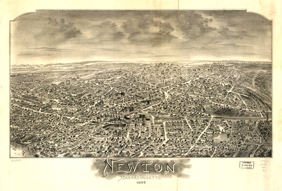
old maps of massachusetts
massachusetts
david rumsey historical map collection
latin-language maps
maps by joseph hutchins colton
maps by jodocus hondius
maps with cartouches
maps of paris from the david rumsey historical map collection
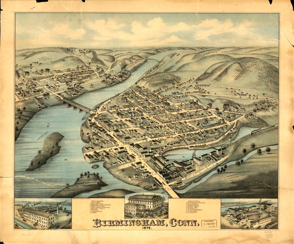
old maps of connecticut
o. h. bailey
maps in the library of congress
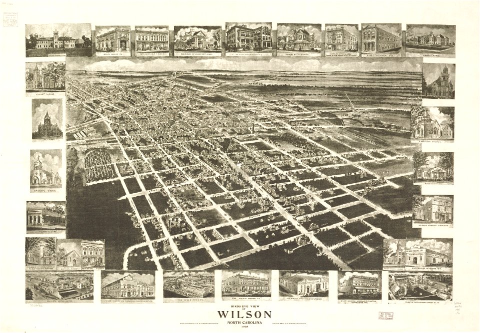
1908 maps
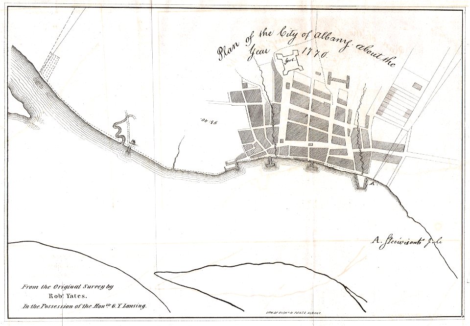
1770 maps
new york
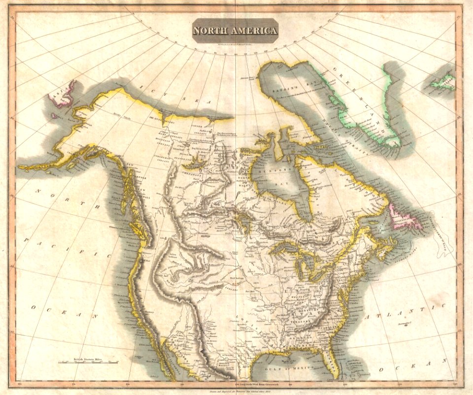
1814 maps of north america
maps by john thomson
maps in the library of congress
new york city
maps in the library of congress
new york city
maps in the library of congress
o. h. bailey
maps in the library of congress
o. h. bailey
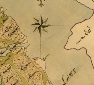
estate maps in the national library of wales
estate maps
old maps of massachusetts
o. h. bailey
old maps of massachusetts
o. h. bailey
old maps of massachusetts
o. h. bailey
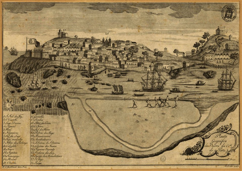
1780s maps of portugal
1789 maps
old maps of connecticut
o. h. bailey
old maps of massachusetts
o. h. bailey
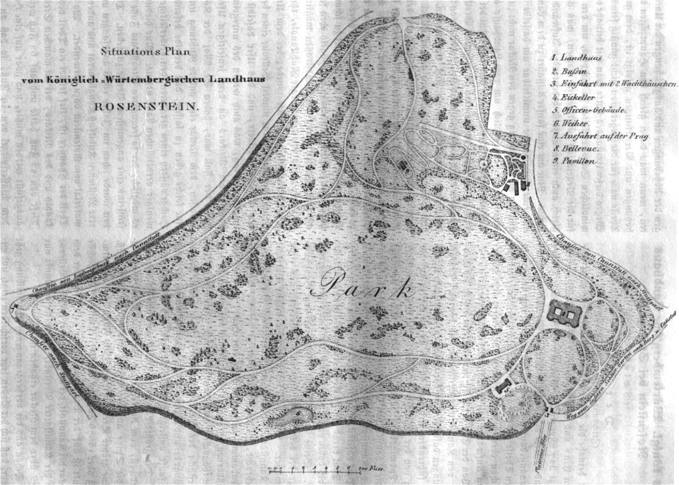
schloss rosenstein
rosensteinpark
charts and maps of the royal museums greenwich
old maps of the moon
maps by hendrik hondius the younger
latin-language maps
german-language maps showing history of europe
maps by brockhaus
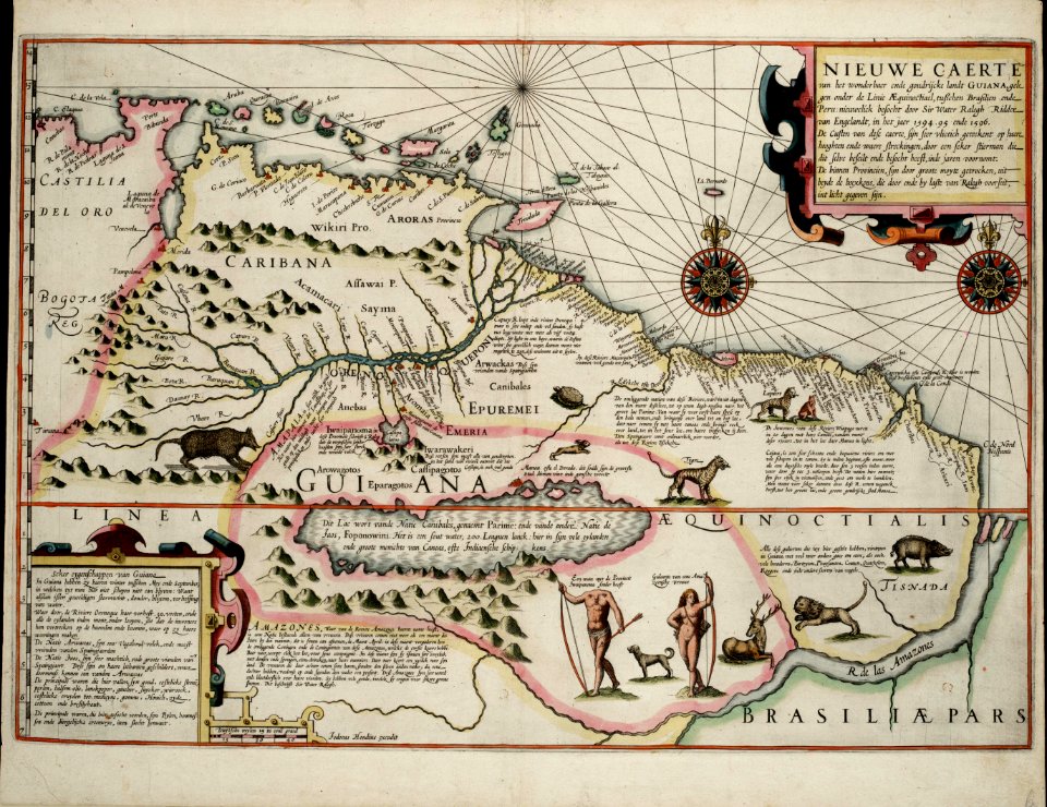
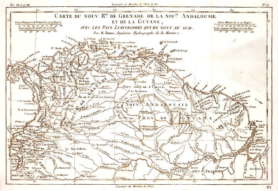
old maps of guyana
el dorado
engravings of the glory of the duchy of carniola
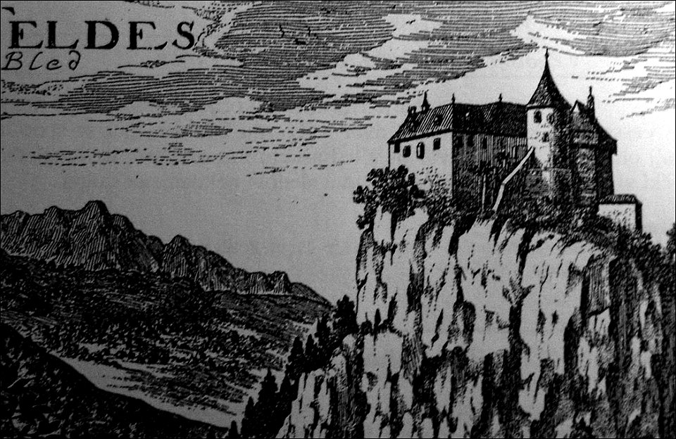
historical images of bled castle
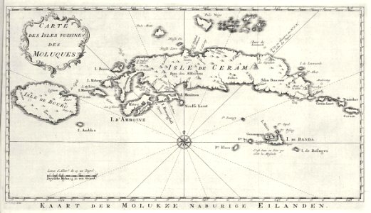
maps of the dutch east india company - indonesia
banda islands
old maps of the arabian peninsula
maps of midian
old maps of new york (state)
new york
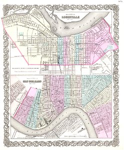
louisville,
kentucky
old maps of new york (state)
new york city
prime meridian
new world
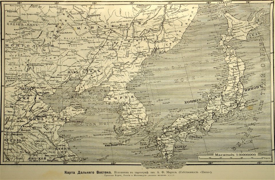
old maps of the sea of japan
1855 maps
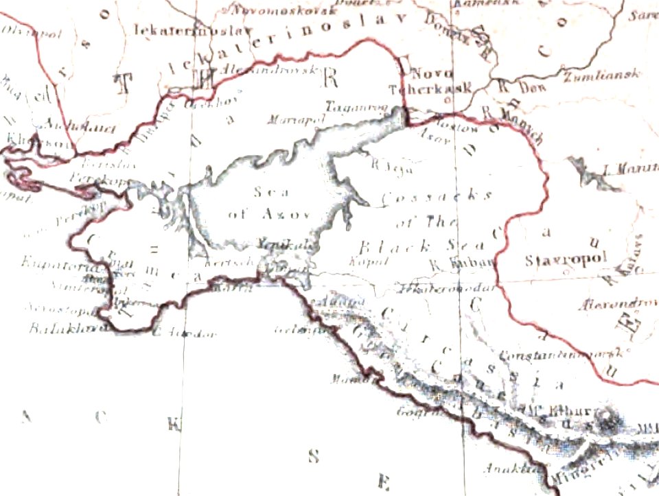
old maps of the sea of azov
maps of circassia
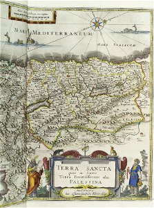
topographic maps of palestine
jerusalem
18th-century maps of liguria
old maps of corsica
old maps of papua new guinea
maps of bougainville
collections of staatsbibliothek bamberg
1602 maps
old maps of french polynesia
maps of bora bora
maps of polders in north holland
maps of haarlemmermeer
old maps of the community of madrid
1868 maps
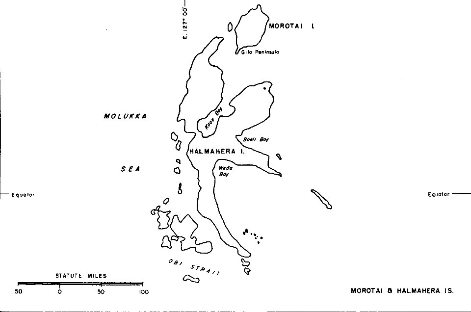
old maps of indonesia
halmahera
18th-century maps of stockholm
maps of hjorthagen
17th-century maps of stockholm
maps of hjorthagen
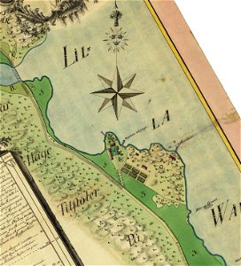
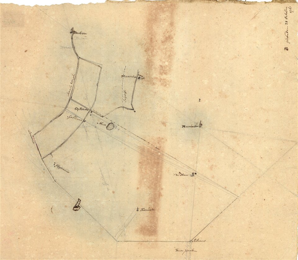
sjallemaheerd (opende)
maps of marum
groningen
nienoord
maps showing 19th-century history
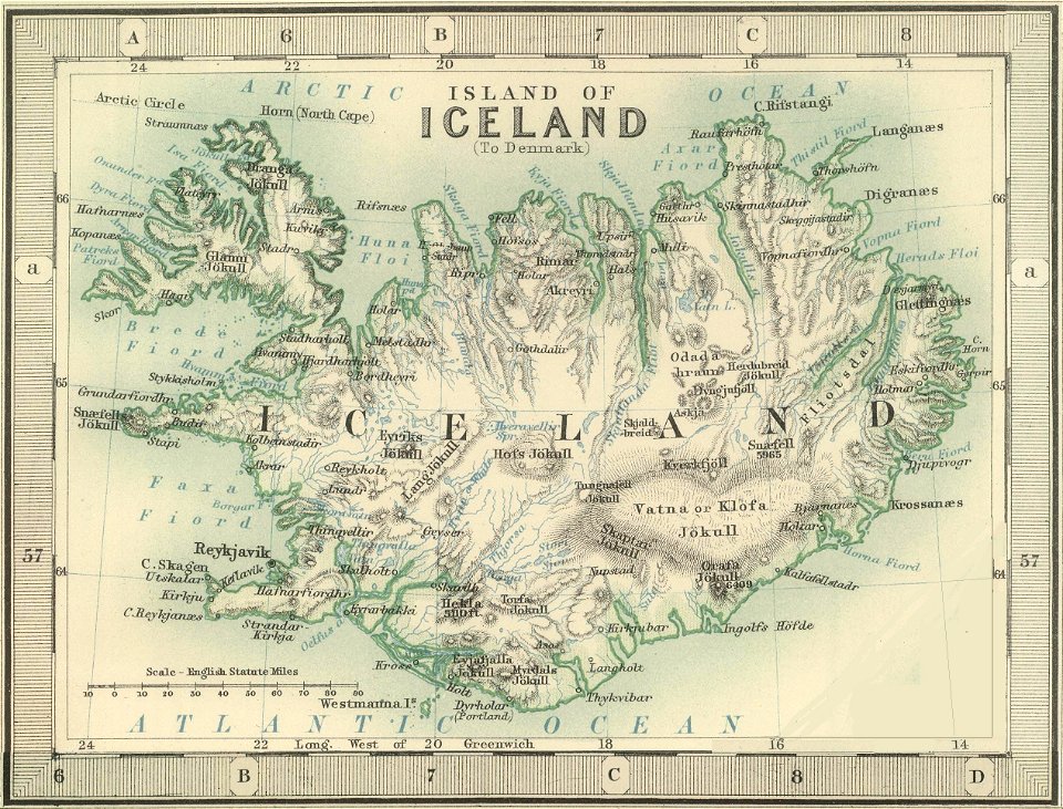
old maps of iceland
maps in the library of congress
1639 maps
arizona
phoenix
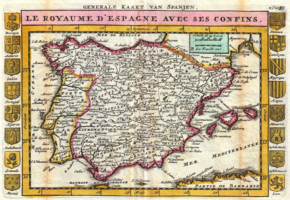
old maps of the iberian peninsula
johannes ratelband
old maps of switzerland
johannes ratelband
french-language maps
johannes ratelband
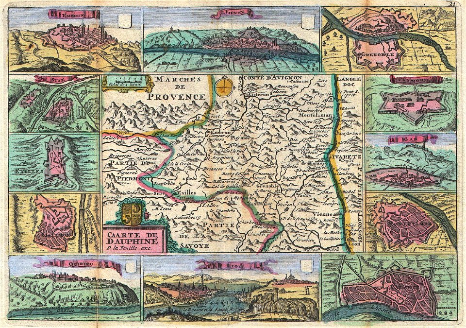
administrative history of france
johann baptist homann
16th-century maps of the black sea
coats of arms on maps
david rumsey historical map collection
joan blaeu
johann baptist homann
ships on maps
maps by jodocus hondius
1628 maps
maps of paris from the david rumsey historical map collection
1854 maps
david rumsey historical map collection
german-language maps
maps of paris from the david rumsey historical map collection
1866 in paris
maps of paris from the david rumsey historical map collection
1873 in paris
david rumsey historical map collection
j. and p. knapton
old maps of north rhine-westphalia
maps by willem and johannes blaeu
english-language maps
1776 maps
historical coats of arms of denmark
royal coats of arms of sweden
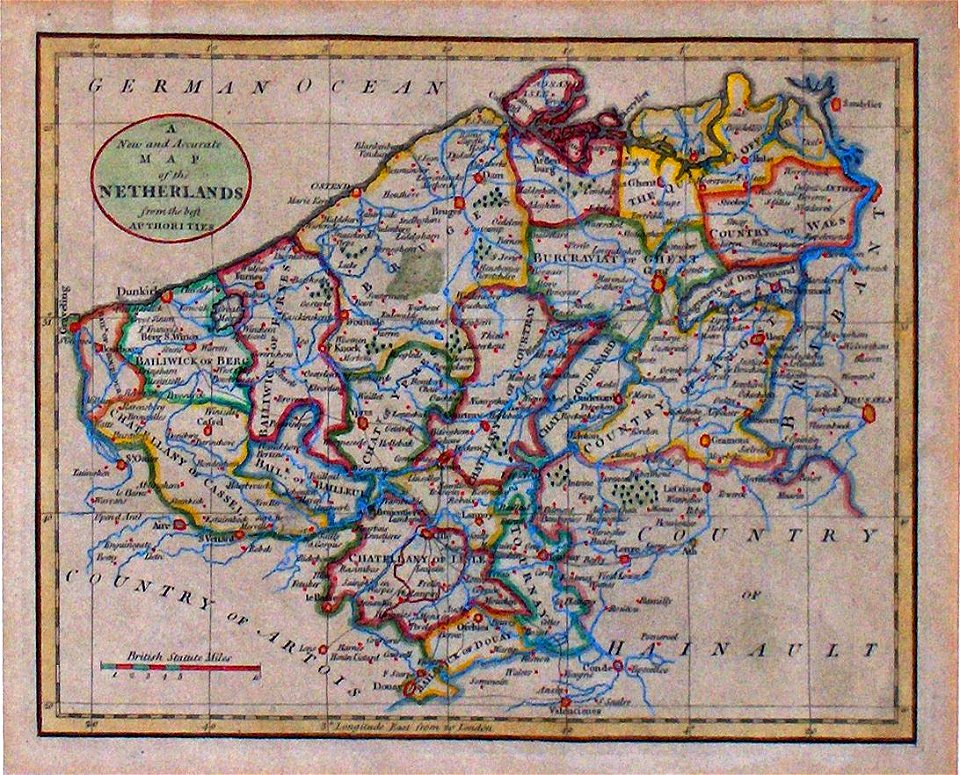
maps of the county of flanders
old maps of flanders
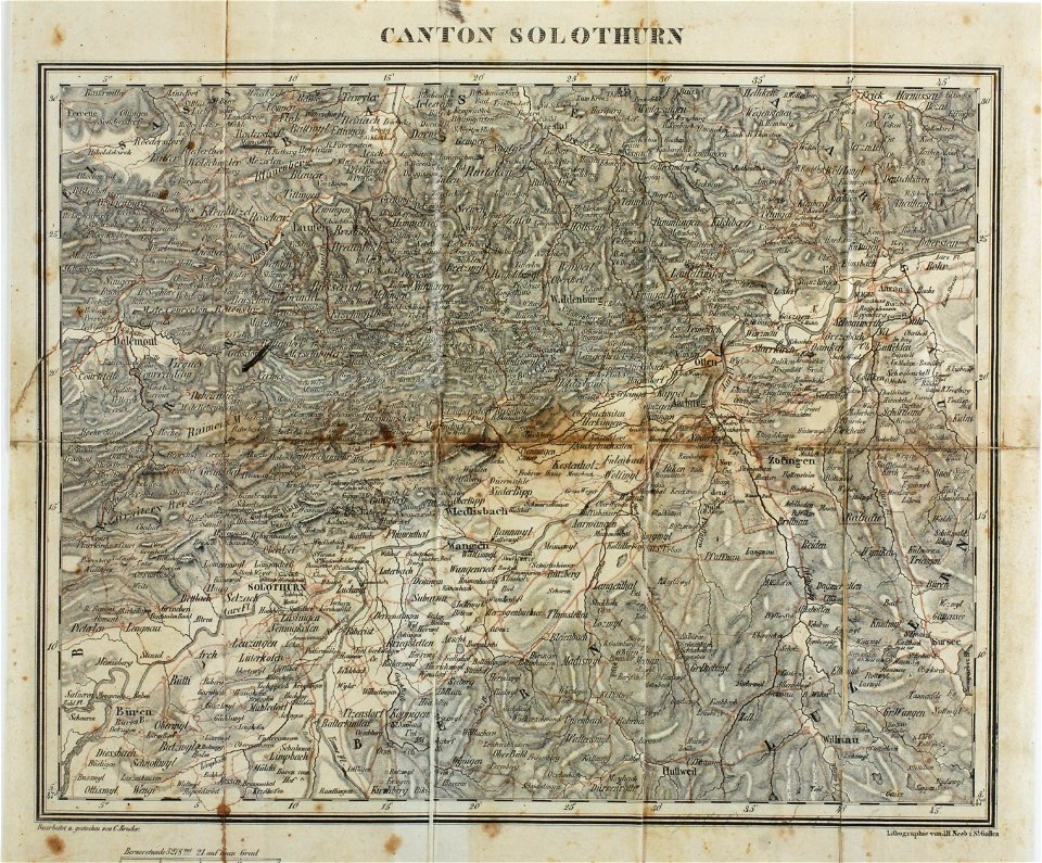
maps of the canton of solothurn
old maps of switzerland
maps made in the 17th century
gerard valck
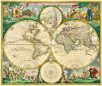
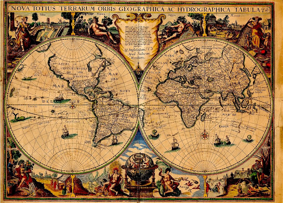
double hemisphere world maps
maps by frederick de wit
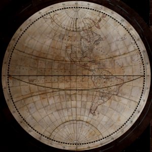
old maps of earth's hemispheres
western hemisphere
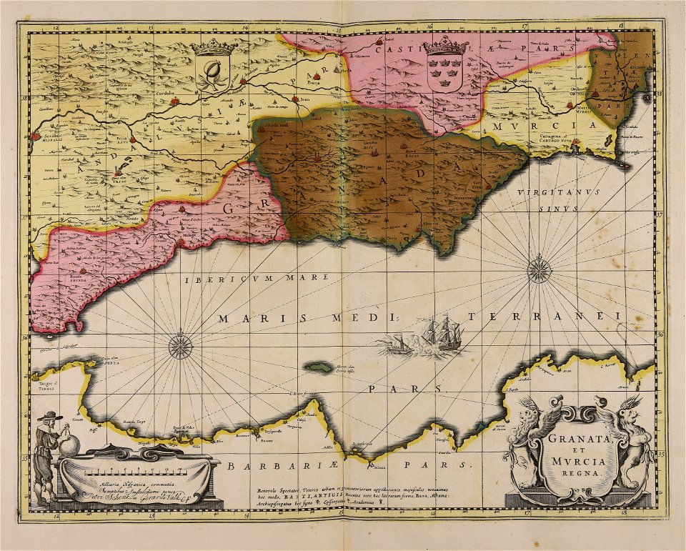
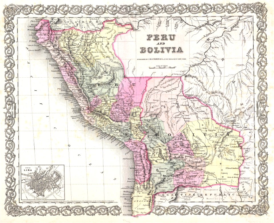
old maps of peru
1855 maps
old maps of charleston
south carolina
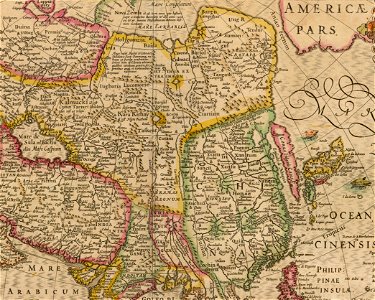
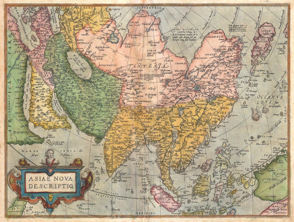
17th-century maps of china
old maps of asia
maps by jacques-nicolas bellin
french-language maps of china
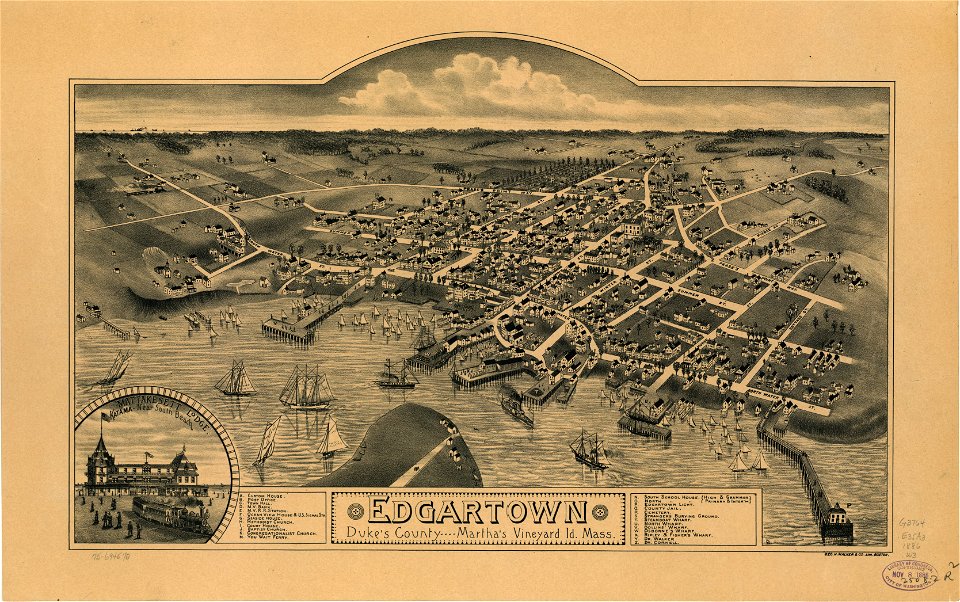
old maps of massachusetts
martha's vineyard
old maps of massachusetts
martha's vineyard
joan blaeu
scotland
maps by willem and johannes blaeu
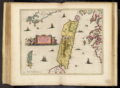
old maps of israel
maps in the library of congress
new york
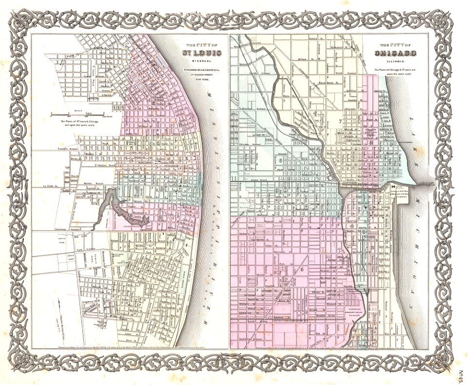
1850s maps of chicago
missouri
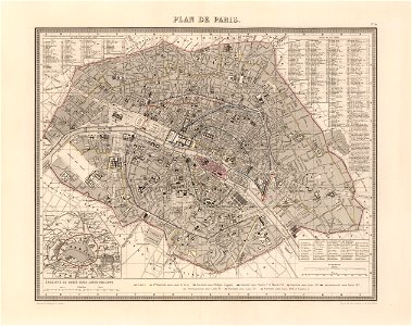
maps of paris from the david rumsey historical map collection
1863 maps
david rumsey historical map collection
j. and p. knapton
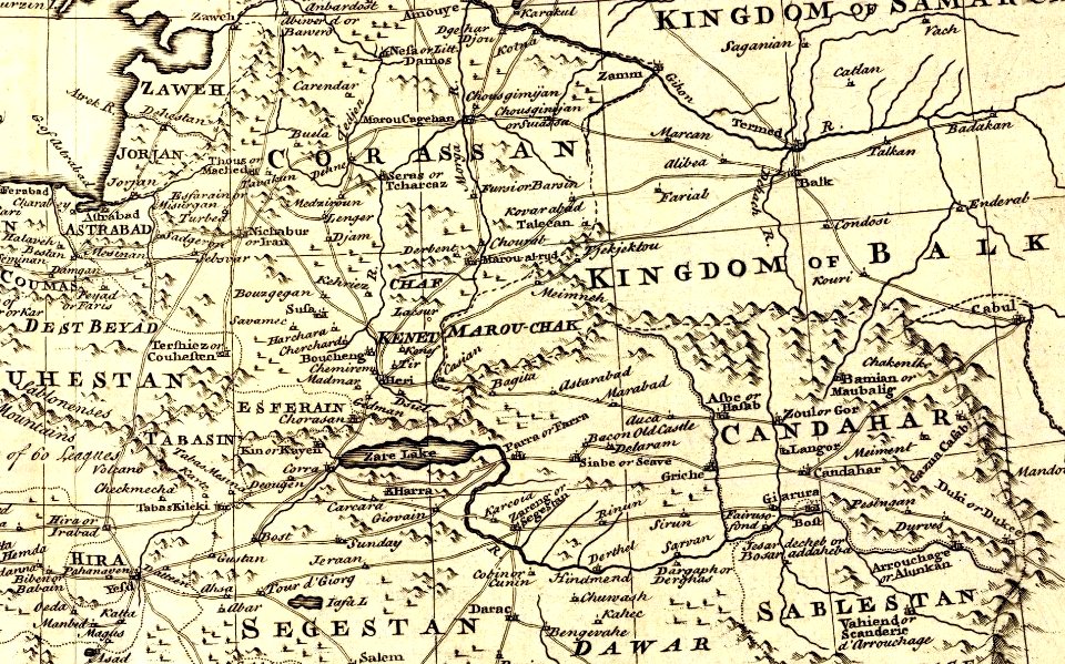
kandahar province
j. and p. knapton
maps by jacques-nicolas bellin
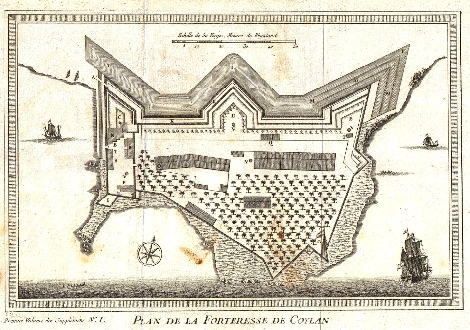
kollam
early modern netherlandish cartography
maps with cartouches
double hemisphere world maps
copper engraving
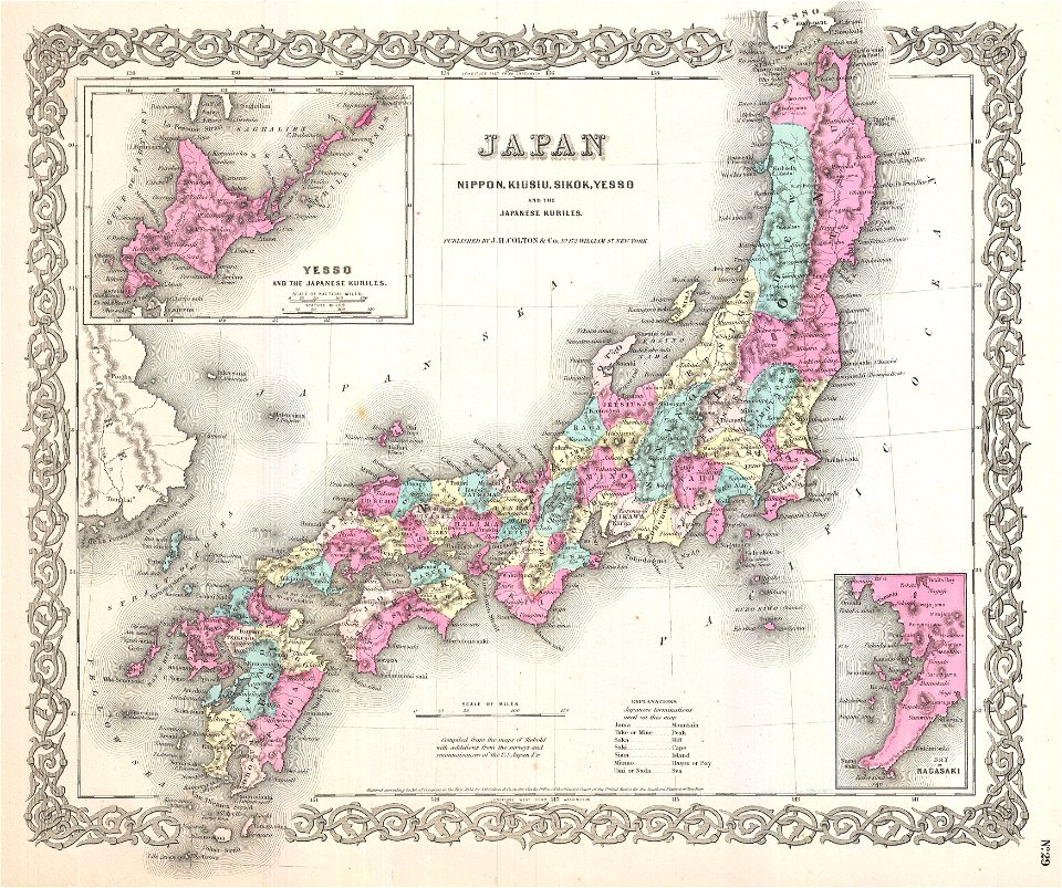
old maps of japan
1904
18th-century maps of brazil
1780 in south america
coats of arms of augsburg
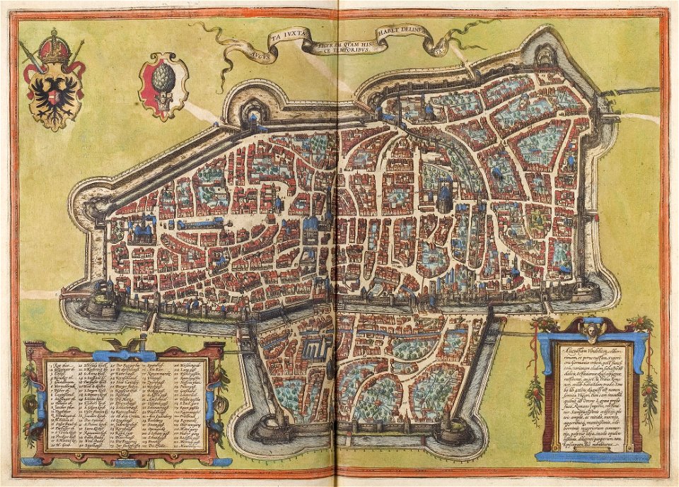
braun & hogenberg
illustrations of cosmographia (münster)
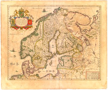
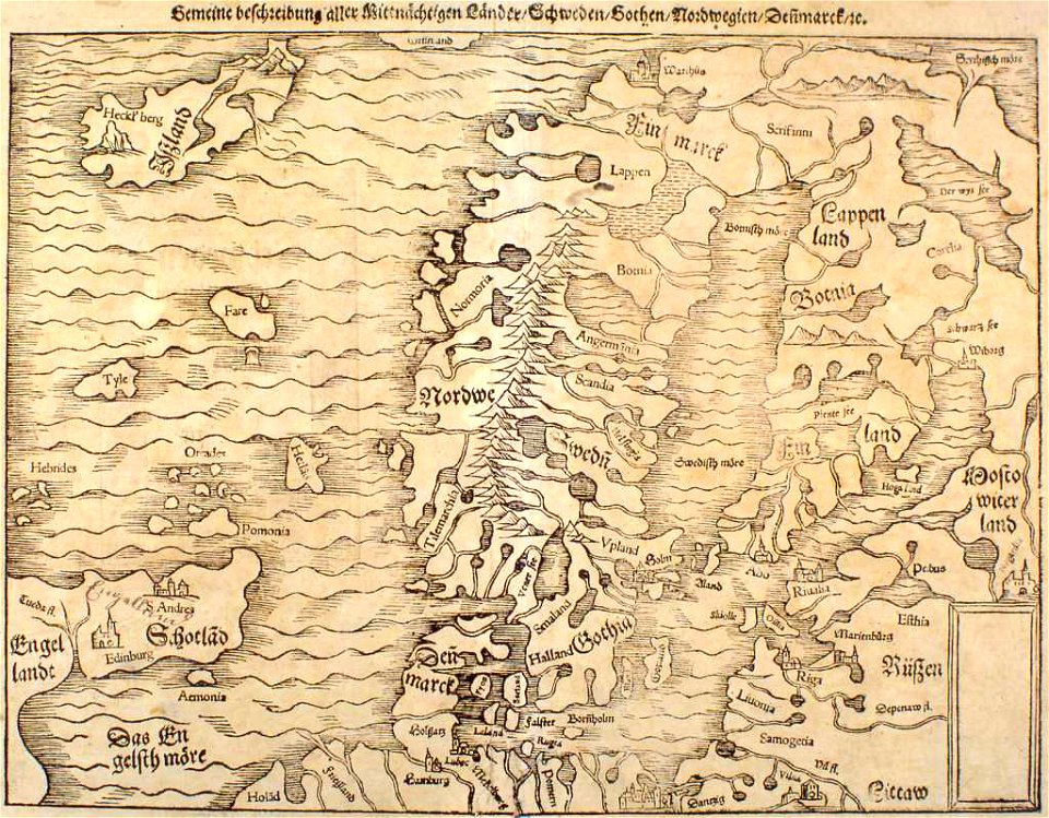
extra-ptolemaic maps of scandinavia
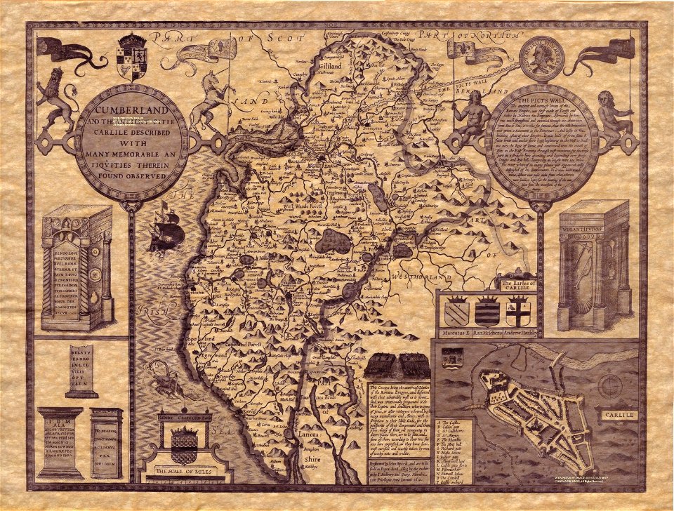
county maps of england by john speed
old county maps of cumberland
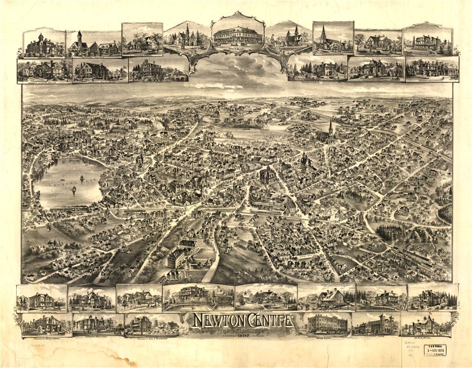
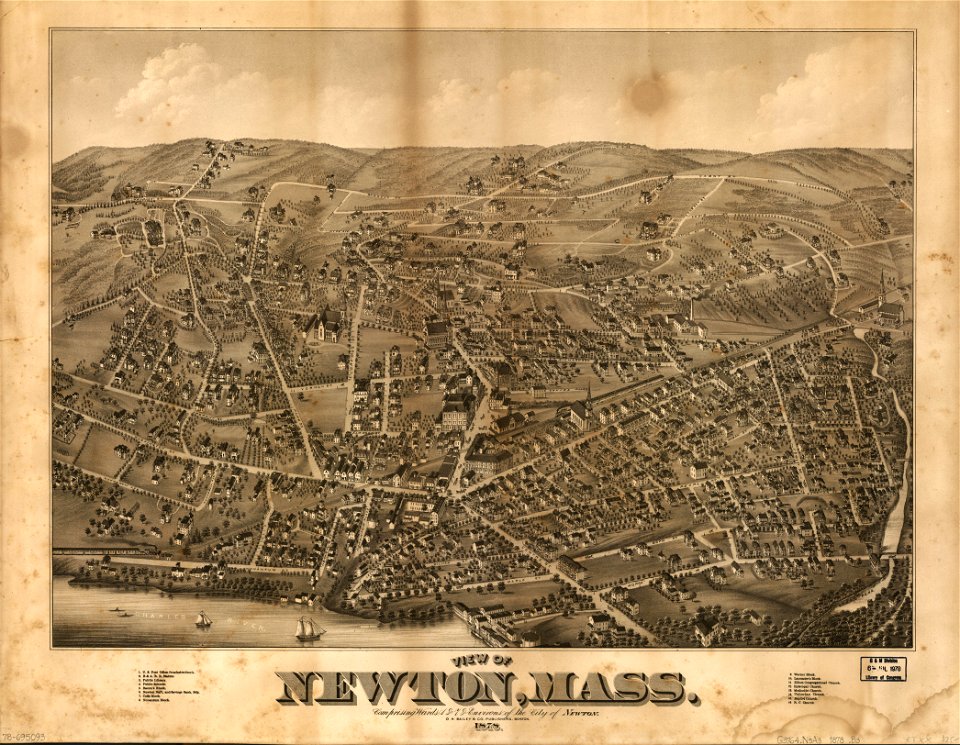
massachusetts
o. h. bailey
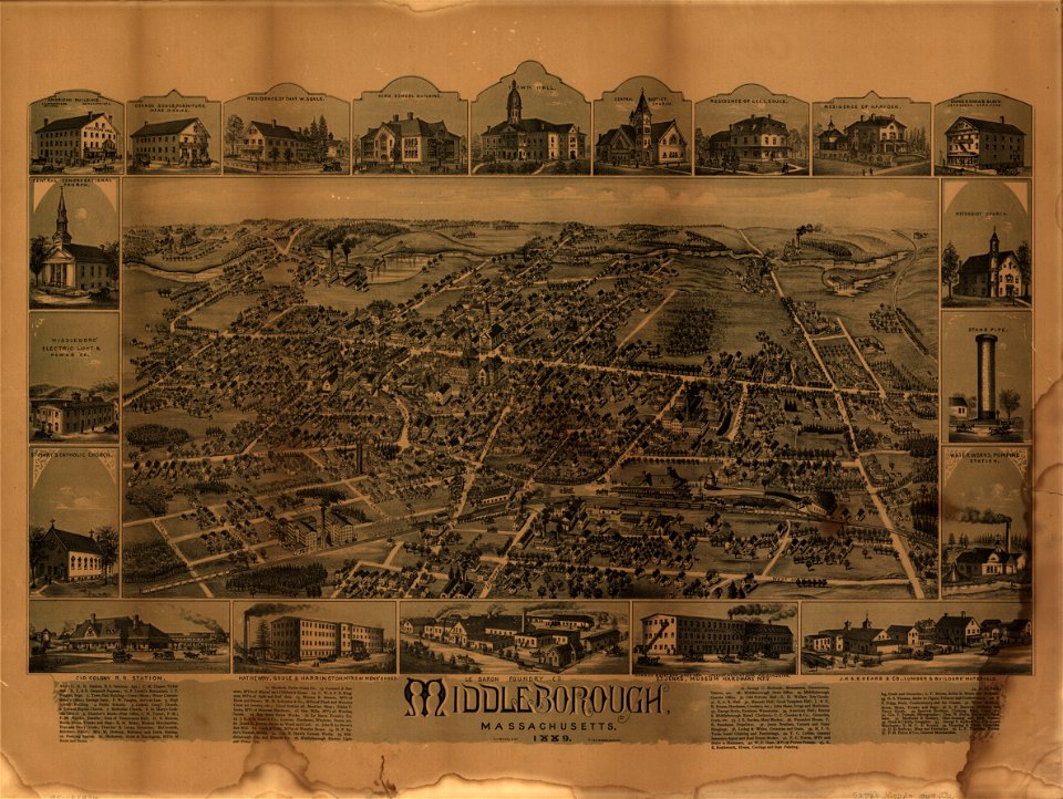
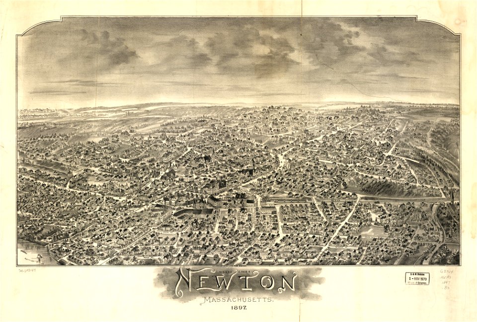
massachusetts
o. h. bailey
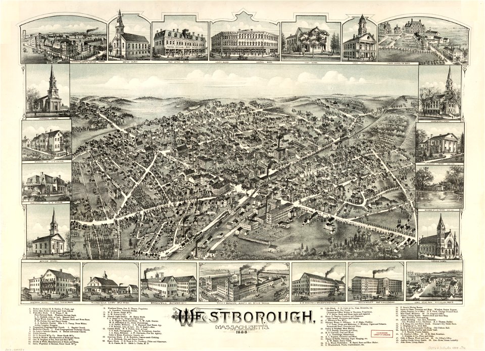
massachusetts
o. h. bailey
massachusetts
o. h. bailey
massachusetts
o. h. bailey
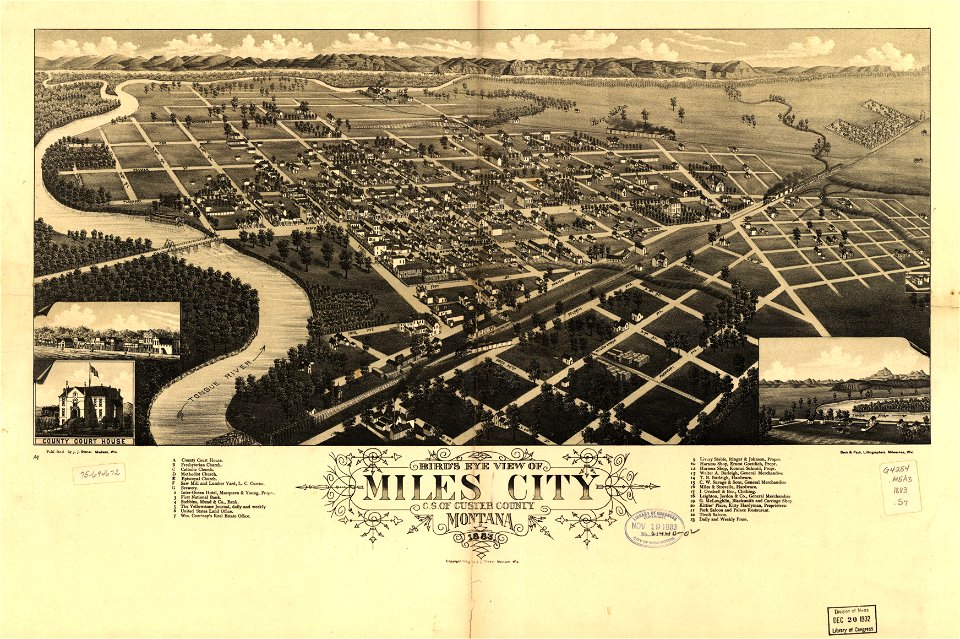
maps in the library of congress
washington
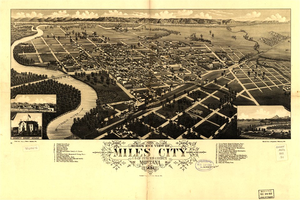
miles city
montana
maps in the library of congress
washington
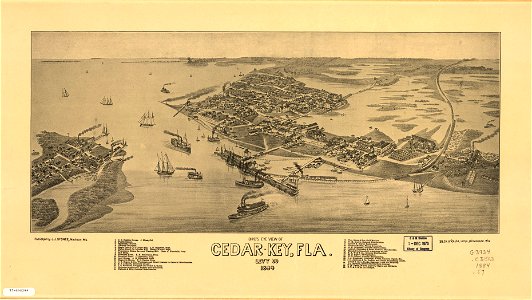
cedar key
florida
miles city
montana
cedar key
florida
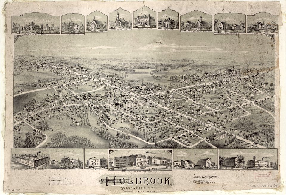
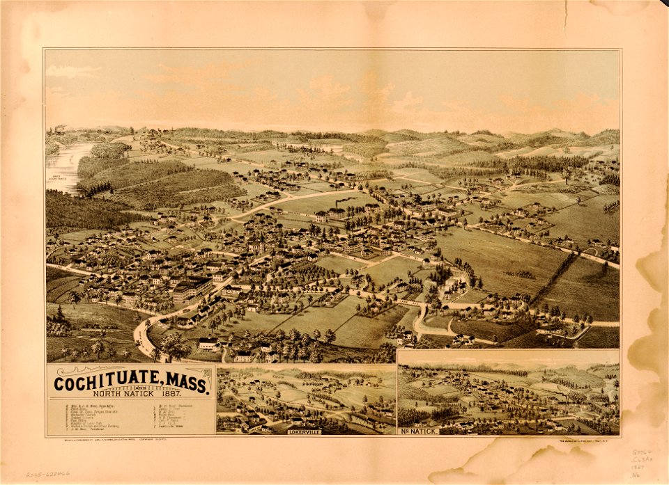
massachusetts
natick
massachusetts
natick
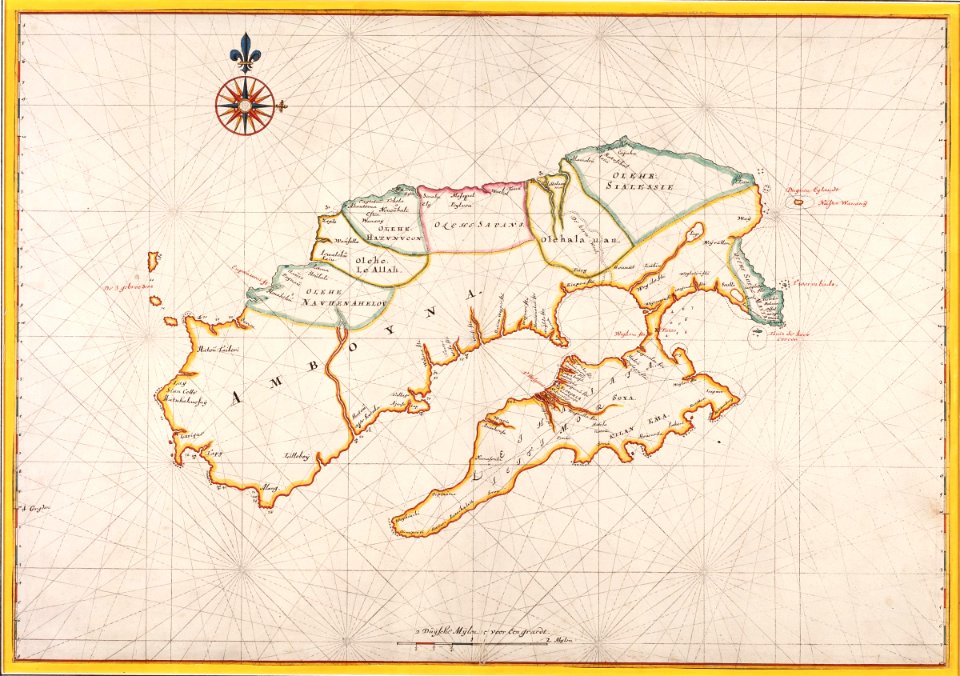
17th-century maps of indonesia
1665
1601 - 1700 of 1,095,938
Next page
/ 10960